
Do you have a project we can help with?
16 years of experience at your service
During our many years of experience, we have developed the awareness of the complexity of airport projects in their multidisciplinary aspect. GIS design supplies engineering services for airport facilities, of air or of land, with necessary experience and competence so to take into consideration all the operational aspects.
Airport safety is a service that requires the involvement of different expertise and a combination of combined engineering services, such as traffic forecasts, planning, integrated design, complex buildings, transports engineering and airport and road pavements/floor, electromechanical and landscape engineering, environmental impact and energy sustainability. For more than 16 years we have been working with dedication and passion on national and international, military and civil, airport projects.
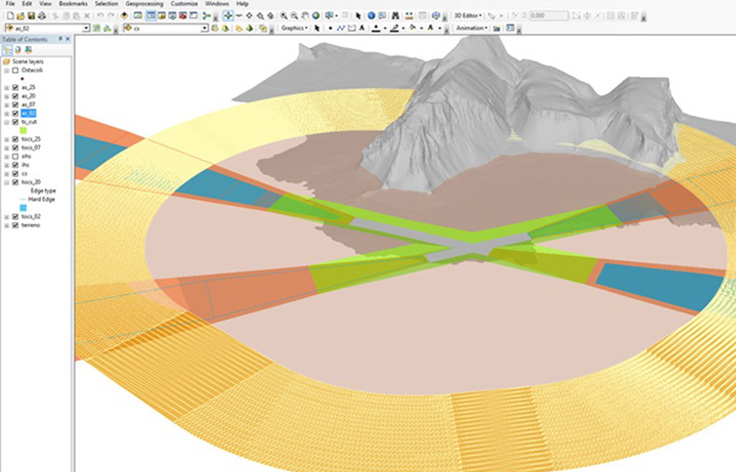
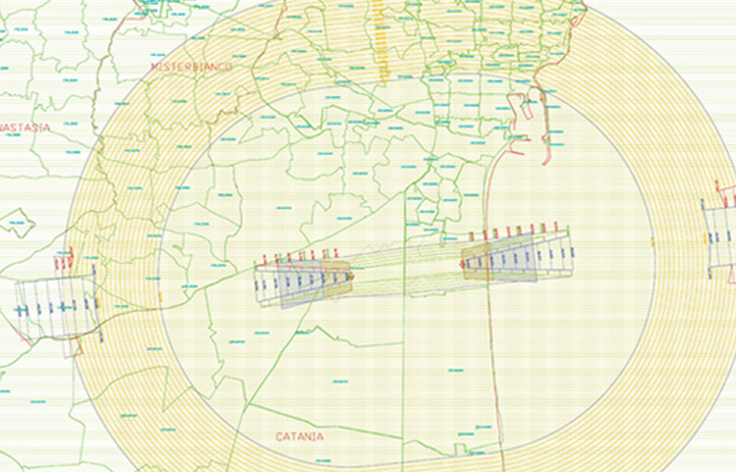
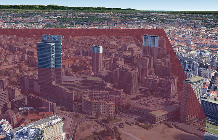
Obstacle Delimitation Surface
Generation of Obstacle Delimitation and Identification Surfaces (compliant with EASA CS-ADR-DSN).
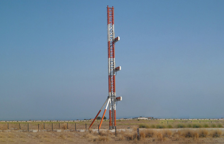
Census of air navigation obstacles
Census of air navigation obstacles within the areas under jurisdiction of the airport manager (compliant with EASA Decision AMC & GM for Aerodromes) and realisation of obstacles monographs.
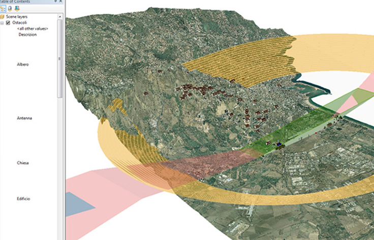
eTOD implementation
Implementation of the Electronic Terrain and Obstacles Data eTOD, compliant with EASA Decision AMC & GM for Aerodromes and Terrain and Obstacles Data Manual of Eurocontrol, through the 3D Geographic Information System structuring for the air navigation obstacles representation and management.
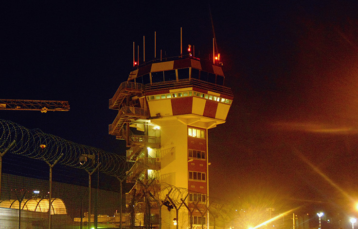
Monitoring obstacles
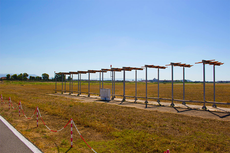
Monitoring obstacles marking and lighting system (Reg. UE 139/2014 Surroundings), even in real-time with fault detection automatic systems.
Aerodrome Chart Elaboration
Aerodrome chart type “A” and “B”, constraint and obstacles delimitation maps elaboration.
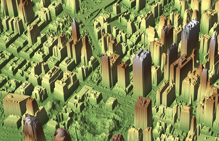
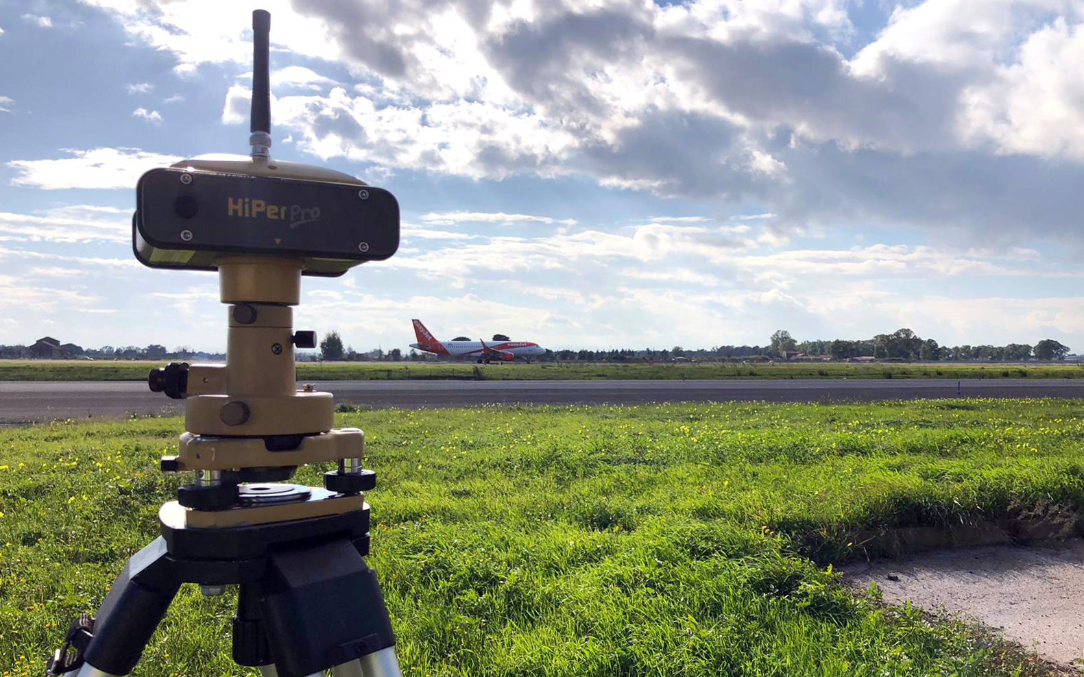
Surveys
Potential air navigation obstacles identification with high-precision GPS surveys, satellite images, aerial photogrammetric survey and numerical cartography, LiDAR mapping campaign and DTM and DSM digital model creation.
Monitoring Surrounding
Monitoring areas around the aerodrome (Surrounding), under Regulation (UE) n. 139/2014 (EASA ADR.OPS.B.075): obstacles and the possibility of induced turbulence; the use of hazardous lights; the dazzling caused by large and highly reflective surfaces; sources of non-visible radiation; non-aeronautical ground light near an aerodrome which may endanger the safety of aircraft, etc.

Monitoring Wildlife
Monitoring Wildlife strike hazard (EASA ADR. OPS.B.020)through the use of satellite images and GIS implementation.


Get A Quote Today
If you want to contact us for any reason, send us an email by filling the alongside form.
We will answer as soon as we can.